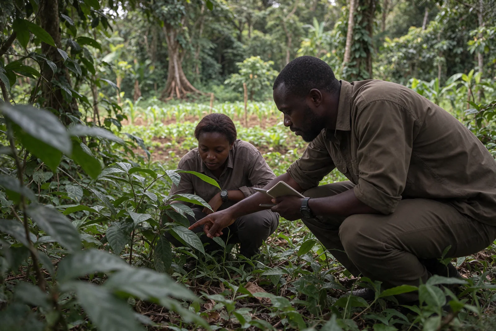
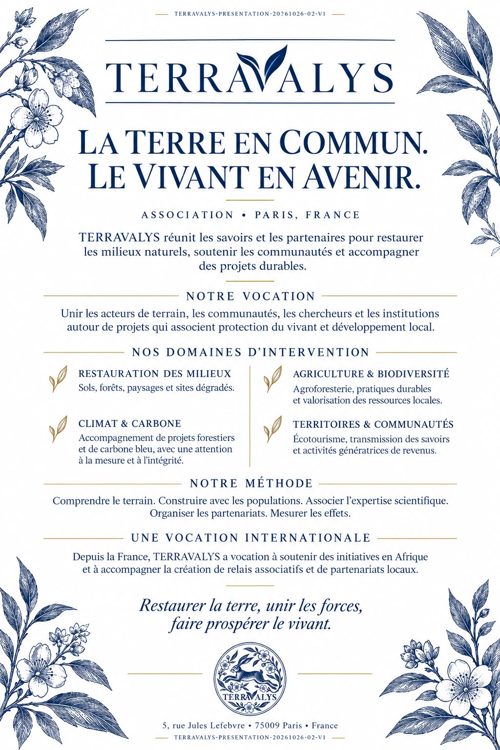
TERRAVALYS connects knowledge, people and organisations across territories to protect ecosystems,
support communities and help shape sustainable pathways, with rigour and
sound judgement.
Putting territories and their inhabitants at the centre of decision-making.
Terravalys supports the creation, organisation and long-term continuity of local associations and organisations. Its work connects protection of the living world, field knowledge, expertise and international cooperation.
A
Conserve and restore. Forests, soils, water, landscapes, coasts and marine ecosystems are considered as interconnected systems.
B
Support and share knowledge. Studies, training, dialogue and shared skills support projects rooted in local realities.
President’s message
Ecological vigilance must guide every cooperation effort.
Manuel-Franck Schneider President of TERRAVALYS
Protecting ecosystems requires constant vigilance. Forests, soils, rivers, coasts and oceans form a single living fabric on which climate balance, biodiversity and people’s living conditions depend.
Restoration is not about imposing a solution: it means taking time to assess conditions, respecting rights and uses, bringing together field knowledge and scientific expertise, then transparently evaluating the effects of each action.
The use and development of natural environments can only be fair if they remain carefully considered, sustainable and shared. Local communities and Indigenous Peoples must be at the centre of this approach: their knowledge of these environments, their rights, their choices and their consent are the very basis of legitimate action.
We will proceed with care, subject to the required authorisations and on the basis of verifiable results.
We are Terravalys, a cooperation association serving the living world. From forests to the ocean, we see territories as one connected whole. Water, soils, biodiversity and people depend on one another. In Cameroon, Gabon, the Republic of the Congo, the Democratic Republic of the Congo, Madagascar and Mauritius, we are preparing strategies rooted in local realities.
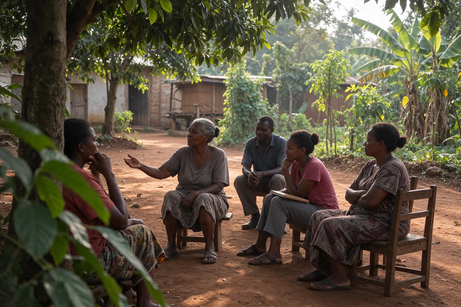
We place communities and Indigenous Peoples at the heart of every process. Their rights, knowledge and consent guide decisions, from planning to monitoring and sharing benefits.
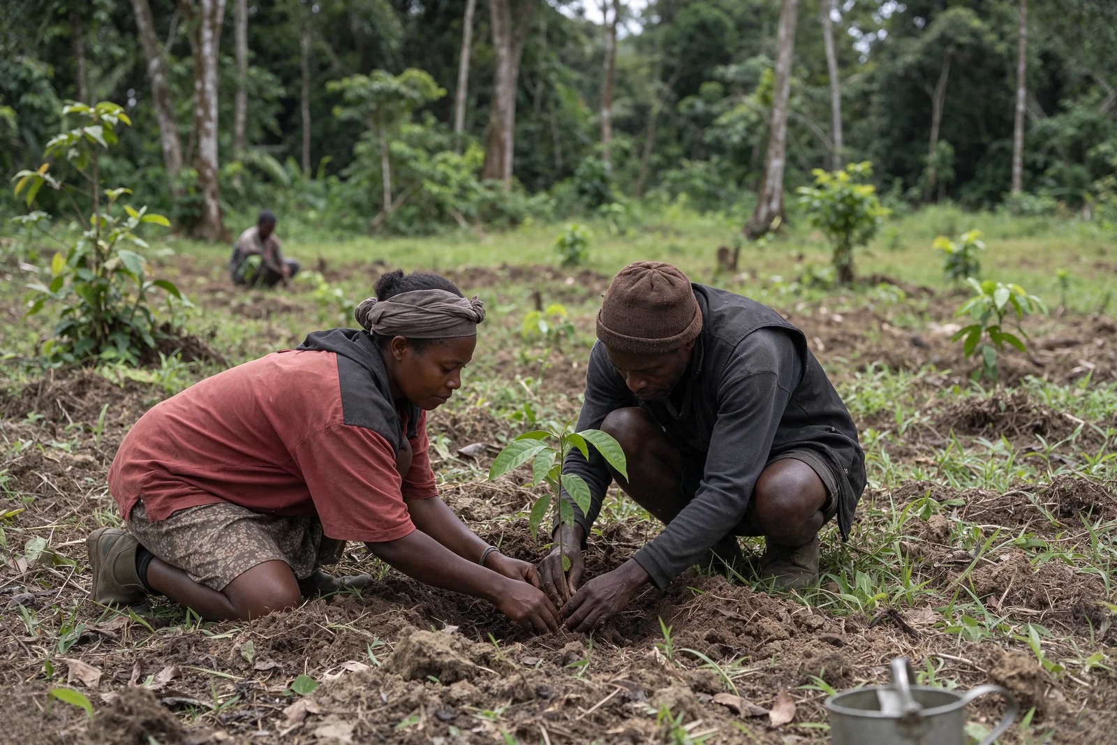
We develop agroecology that protects soil and water. With sustainable agroforestry, trees, shrubs and crops occupy complementary layers, without replacing intact forests or draining peatlands.
We connect biodiversity and carbon without confusing them. We begin by conserving, restoring and measuring. Payments for ecosystem services and carbon credits can only be considered with clear rules, rights and verifiable results. No income is promised.
We observe, decide together, act with care and report back. Terravalys. Our shared earth. A future for the living world.
Cooperation atlas
Six territories, the same commitment to sound methods.
Each profile distinguishes what is documented, what needs study and what remains to be confirmed.
Strategic proposal · institutional preparation
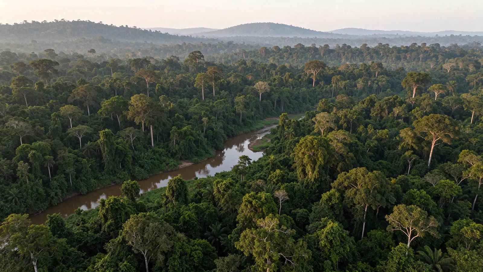
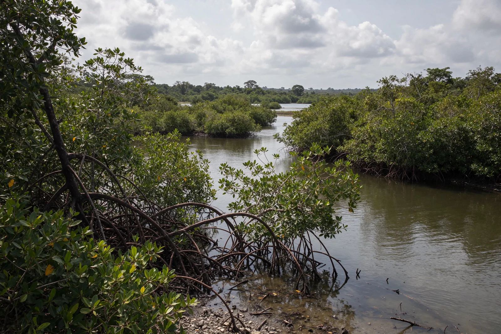
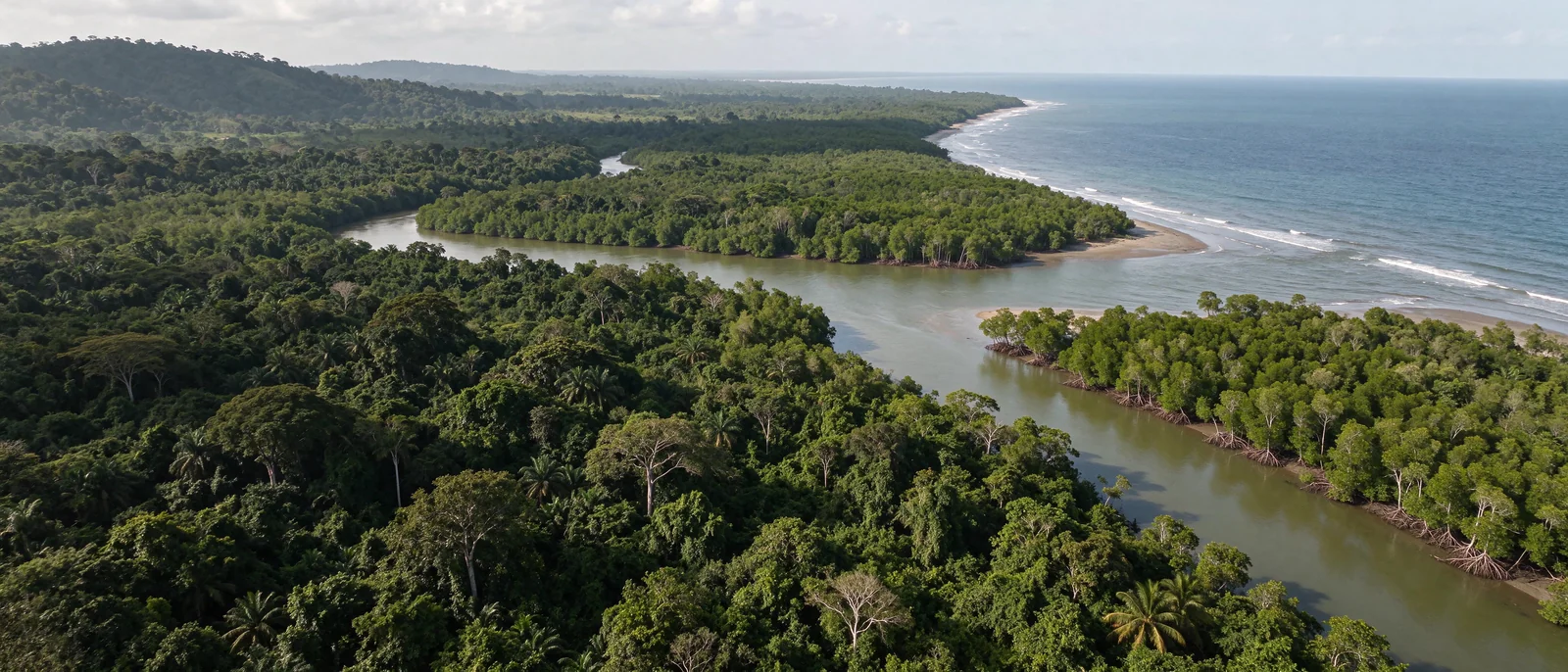
Atlantic rainforests and mangroves.
Cameroon
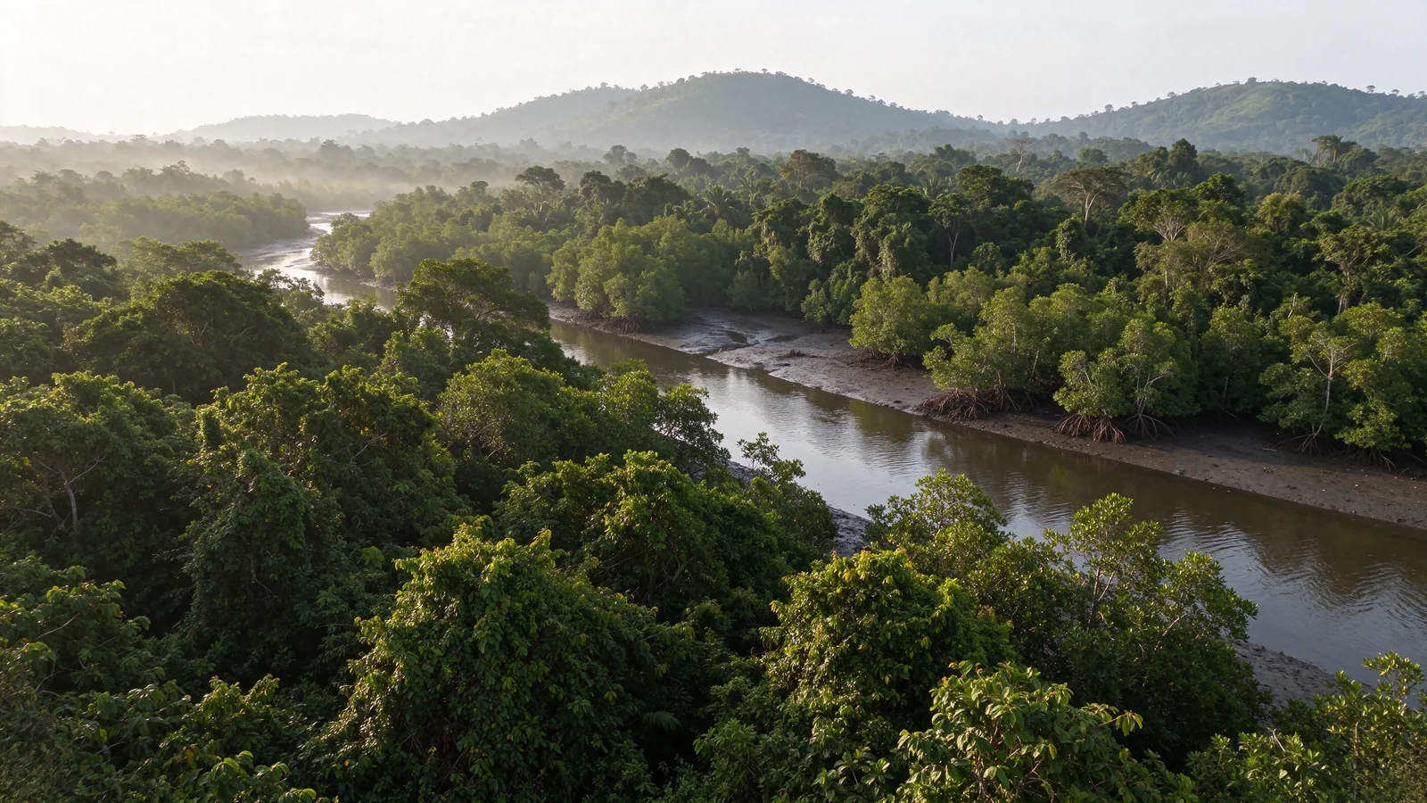
Connecting mountains, forests, mangroves and the ocean.
An ecological continuum to document and strengthen across terrestrial, coastal and marine landscapes. Boundaries, agreements, authorisations and cooperation arrangements remain to be established with the relevant stakeholders and affected populations.
Territorial governance and institutional dialogue to prepare.
Ecological assessments, uses and monitoring frameworks to consolidate.
Rights, participation and consent to incorporate before any intervention.
TERRAVALYS processes. Understanding the watershed and habitats could guide water–soil studies and the exploration of payments for ecosystem services (PES). The local communities and Indigenous Peoples concerned define their priorities, uses and consent arrangements before any proposal; no agreement is presumed.
Early development · assessment to establish
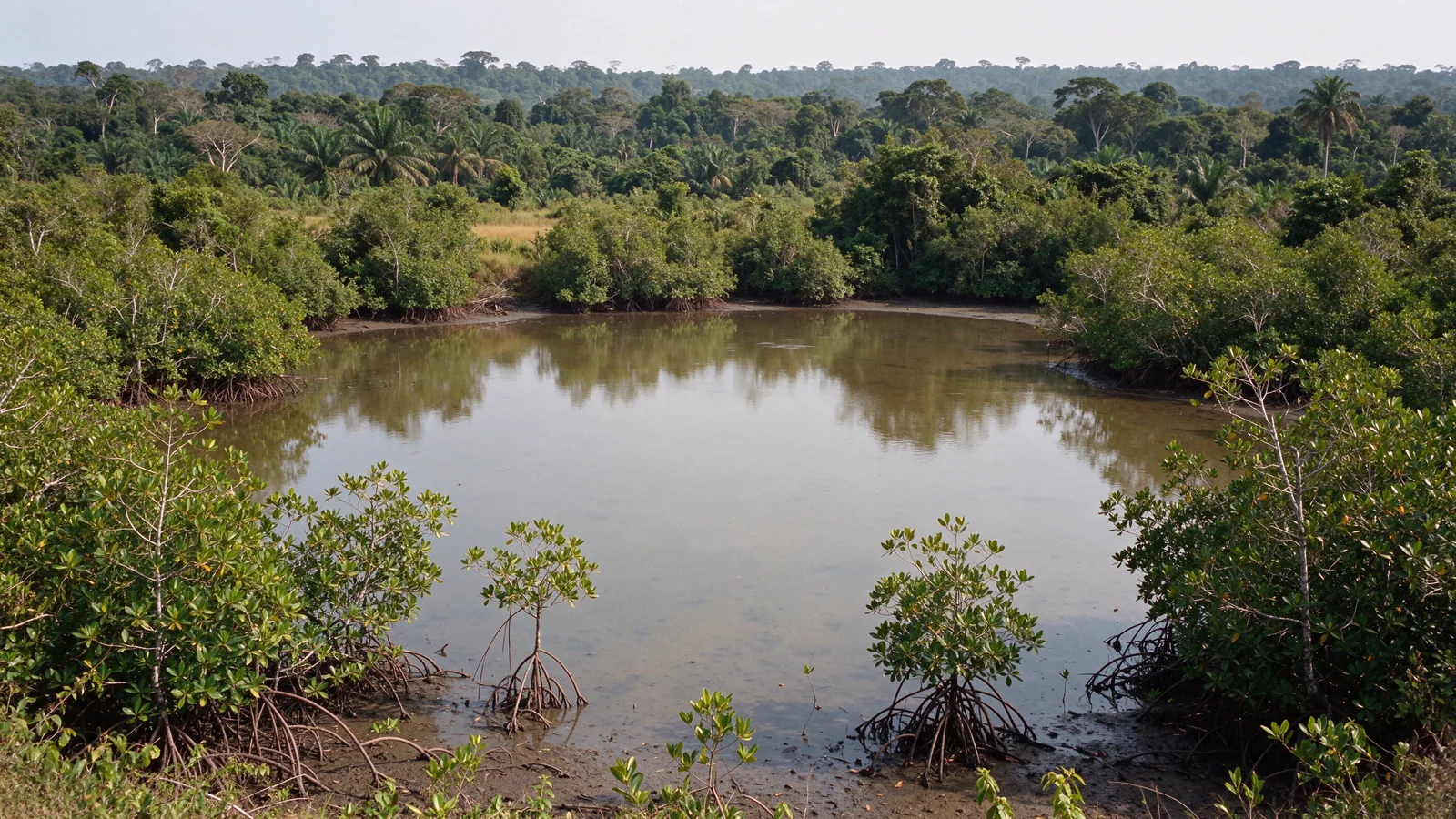
Connected forests and lagoons.
Gabon
Preparing solutions shaped by ecosystems and territories.
Options for conservation, living heritage and livelihoods are to be explored in lagoon, forest and ocean territories. No site, community agreement, authorisation or funding is presented as secured.
A shared assessment of rights, uses, needs and pressures.
Appropriate restoration, subject to ecological and regulatory validation.
Knowledge sharing and activities compatible with ecosystems.
TERRAVALYS processes. The options connect biodiversity, local water uses and an examination of PES. Agroforestry would only be studied on suitable land already under cultivation, without converting intact habitats. The local communities and Indigenous Peoples concerned jointly define the assessment, priorities and consent; their confidential knowledge remains protected.
Preparatory framework · dialogue to confirm
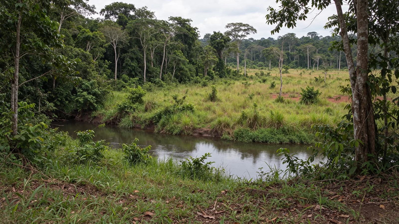
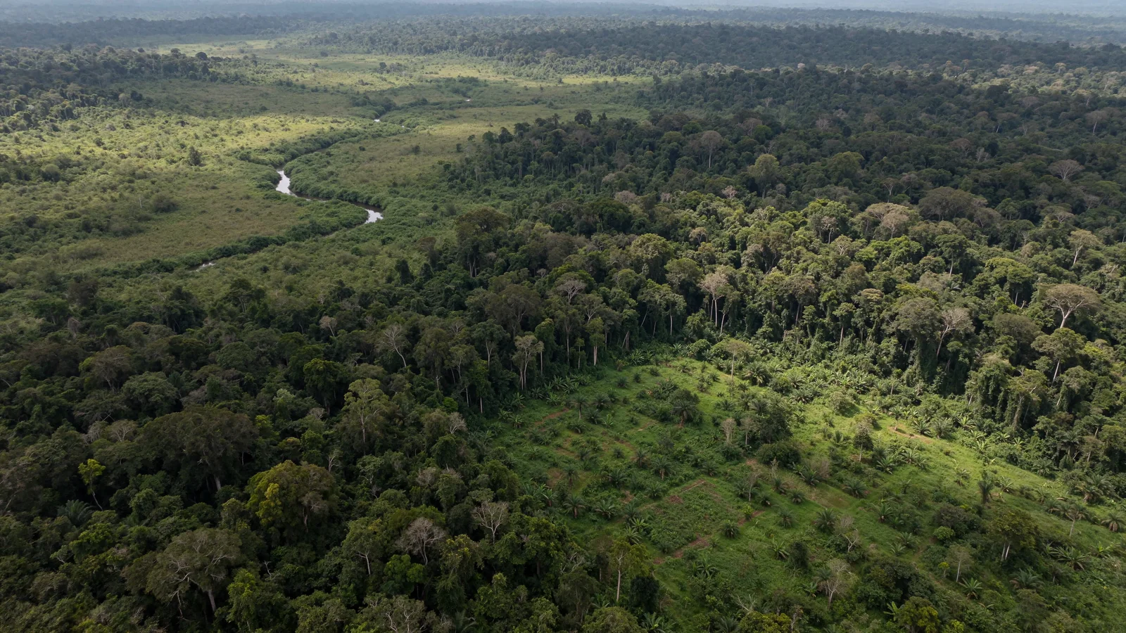
Forest–savanna mosaic and habitat diversity.
Republic of the Congo
Assessing the territory before choosing actions.
Preparatory cooperation could bring together ecological and community assessments, conservation, agroforestry, traceability and low-impact nature tourism. Sites, rights, responsibilities and partnerships remain to be identified or confirmed.
Mapping uses and local decision-making.
Examining compatible activities without forcing dependence on tourism.
Protecting knowledge and establishing access to remedy before any use or development.
TERRAVALYS processes. Shared assessment, appropriate agroforestry, water–soil management and PES remain options to evaluate. The local communities and Indigenous Peoples concerned choose their representatives, help set priorities and decide on their consent. Customary rights, access to resources and benefit-sharing must be documented before action.
Scientific framework · studies and authorisations required
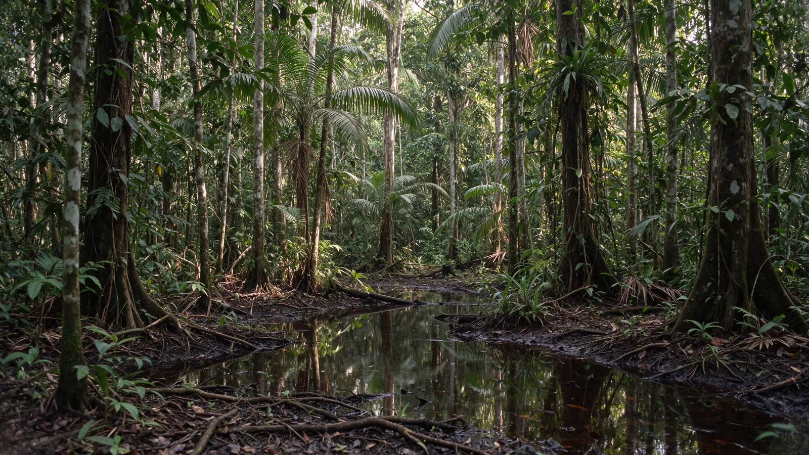
Rainforests, swamps and hydrological balance.
Democratic Republic of the Congo
Studying forests, peatlands and ecological restoration with rigour.
Study frameworks address scientific measurement, territory-specific carbon assessment and ecological restoration. They create no rights, authorisations, active carbon projects or issued credits.
Distinguish boundaries, carbon pools and measurement protocols.
Make all fieldwork conditional on the necessary rights, access and approvals.
Prioritise community participation and the protection of sensitive data.
TERRAVALYS processes. Forests and peatlands require distinct ecological and hydrological assessments. An intact peatland must not be drained or converted to agroforestry. The local communities and Indigenous Peoples concerned guide priorities, access to knowledge and consent. Any possible PES arrangement remains subject to rights, studies and a verifiable agreement.
Organisational development · pre-feasibility study to conduct
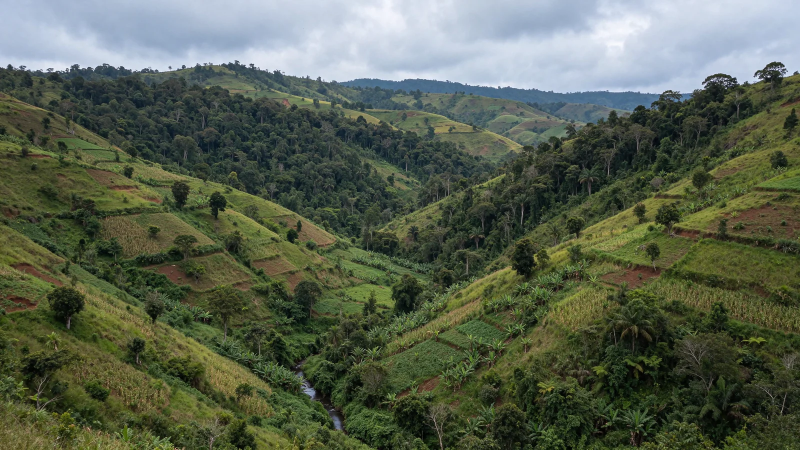
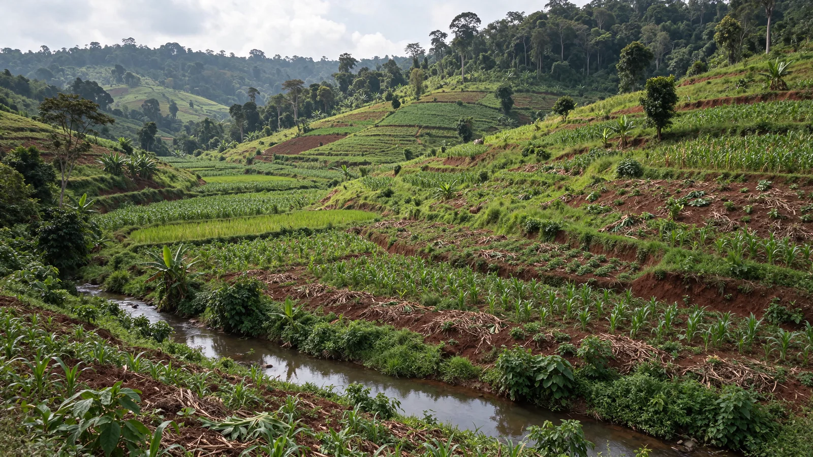
Cultivated hills, agroforests and eastern forests.
Madagascar
Assessing agricultural and agroforestry pathways.
Options relating to sustainable agriculture, agroforestry, water, soils and biodiversity need to be defined with local stakeholders. Land tenure, boundaries, project responsibility, studies, authorisations and funding remain to be verified.
Secure rights, water access, uses and responsibilities before any commitment.
Study soil protection and diversification practices.
Present bio-finance as an exploration, not as secured funding.
TERRAVALYS processes. A pre-feasibility study could connect agroecological assessment, multi-layer agroforestry, erosion prevention and water management, with a biodiversity baseline and an exploration of PES. Boundaries, rights, local capacities and soil and climate suitability remain to be established. The local communities and Indigenous Peoples concerned jointly define priorities, practices, consent and benefit-sharing, without presuming any local identity or agreement. No operational launch is announced.
Proposal · feasibility to establish
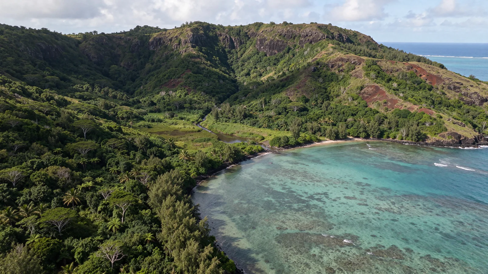
From forested valleys to Mauritian lagoons.
Mauritius
Connecting soil health, the circular economy and coastal protection.
Scenarios for agricultural transition, biomass use, erosion reduction and coastal restoration are to be studied. No site, partner, authorisation, funding or deployment is considered secured.
Reduce pressures at source before any active restoration.
Assess biomass, land rights, costs and local consultation.
Promise no credits, income or ecological effects before measurement.
TERRAVALYS processes. Agroecology, water management and erosion reduction could be studied before considering any PES arrangement. Local communities, and Indigenous Peoples where concerned, participate in defining priorities, use rights, consent and monitoring criteria. No actual group or agreement is attributed to this proposal.
Our areas of work
Four ways to act, one shared responsibility.
Natural regeneration and ecosystem restoration.01
Ecosystem restoration
Soils, forests, landscapes and degraded sites: understanding causes, preventing pressures and restoring in ways appropriate to each ecosystem.
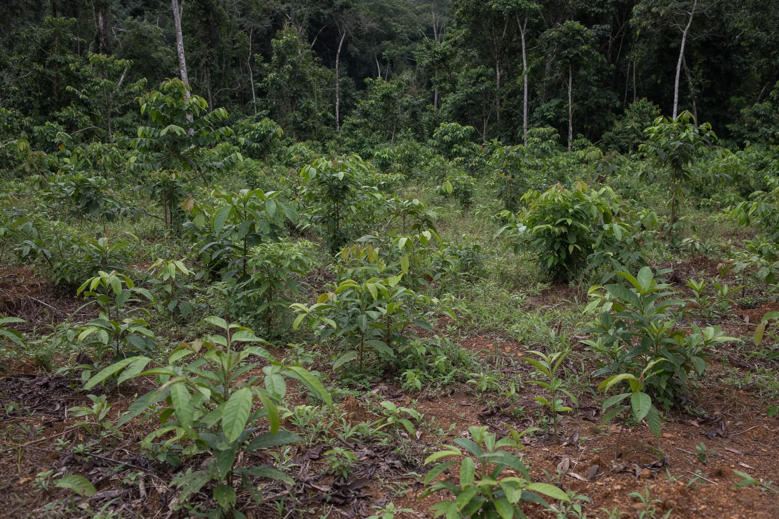
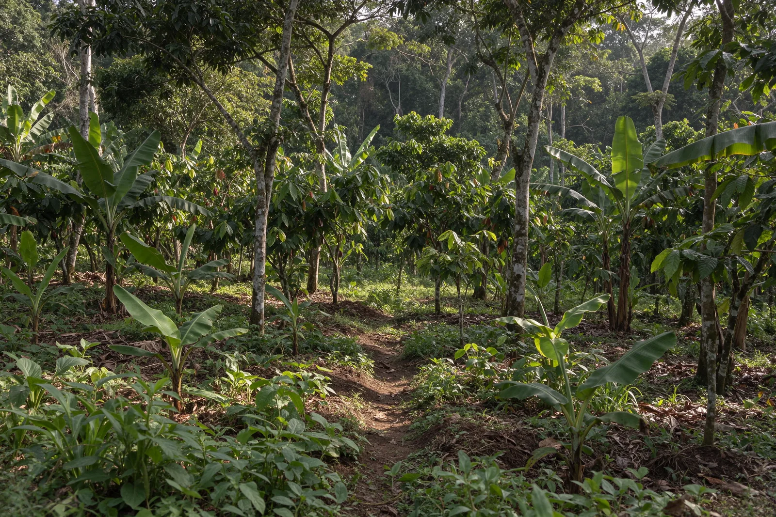
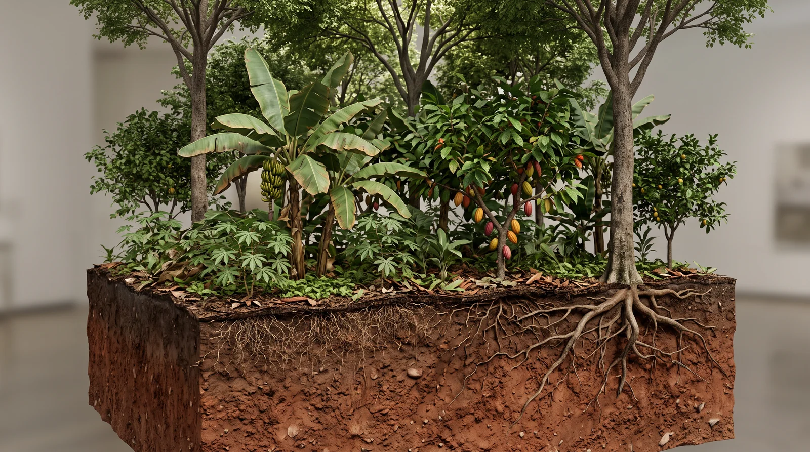
Plantains, cocoa and trees in a diversified system.02
Agriculture & biodiversity
Agroforestry, sustainable practices, local knowledge and diversification designed with the people whose livelihoods depend on these territories.
Forests and mangroves, biodiversity and climate regulation.03
Climate & carbon
Support for forest, agricultural or blue carbon approaches: evidence, rights and ecological integrity come before any valuation or use.
Territorial dialogue and knowledge sharing.04
Territories & communities
Living heritage, responsible ecotourism, knowledge sharing and economic activities compatible with ecosystems.
TERRAVALYS processes
Carefully defined practices, developed with local inhabitants.
These processes are frameworks to adapt to soil and climate conditions, rights, local choices and national requirements. They are neither universal recipes nor standard contracts, nor announcements of projects already under way. Every intervention requires a shared assessment, the necessary authorisations and ecological validation.
01 · Living soils and diversified crops
Agroecology
Designing an agricultural system that connects diversity, soil protection, water management and biological regulation. The knowledge of the local communities and Indigenous Peoples concerned guides trials and decisions, with respect for their rights and consent.
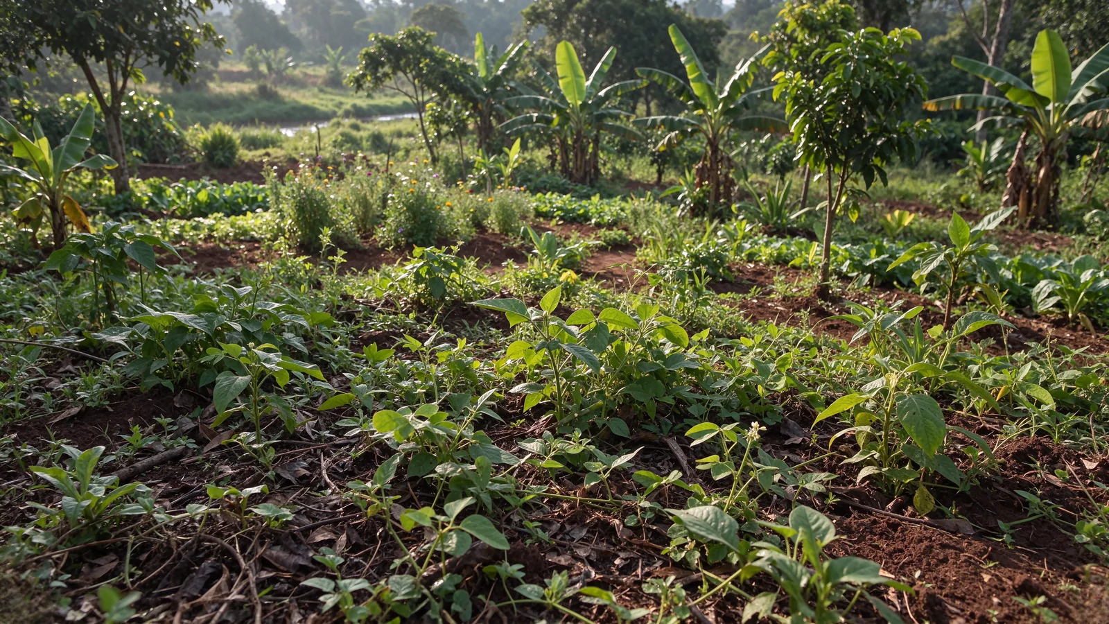
Vegetation cover, diversification and soil life.Explore the 5 steps of agroecology
Shared assessment of the agricultural system
Observe climate, soils, water, uses, income and workload. Document land and customary rights with the local communities and Indigenous Peoples concerned; define which knowledge must be protected and which access authorisations are required.
Co-design diversification
Jointly choose suitable crop rotations and combinations, hedgerows and cover crops. Retain beneficial habitats and ecological connections, without replacing an intact natural environment with a new crop.
Protect soils and recycle nutrients
Study mulching, suitable compost, the return of crop residues and reduced soil disturbance. Assess available resources, their quality and their other uses before diverting biomass or recommending an input.
Connect water and biological regulation
Encourage infiltration and beneficial biodiversity, and observe pests and beneficial organisms according to a protocol. Examine ways to reduce dependence on inputs, without prescribing universal treatments or doses and without harming water or habitats.
Test, monitor and adjust each season
Organise proportionate trials with local groups, compare them against a baseline and discuss results. Adjust practices with producers and knowledge holders, checking costs, labour and ecological effects.
Indicators to define together: soil cover (%), infiltration, organic matter, yields by crop, costs, workload and pollinator observations. Compare using a consistent protocol and at the same times of year; no gain is presumed.
Decisions on trials belong to those concerned. Indigenous Peoples retain control over their knowledge, consent arrangements and access to data; their participation in monitoring and fair benefit-sharing must be agreed before intervention.
Combining trees, shrubs and crops across space and time, seeking complementarity rather than competition. Species and uses are chosen jointly with the local communities and Indigenous Peoples concerned, according to rights and field conditions.
Trees, shrubs, crops and roots in mineral soil. Not to scale.Explore the 5 steps of agroforestry
Assess the land and rights
Assess land already cultivated or degraded on mineral soils, its uses and constraints. Do not clear intact forest or convert peatland. Involve local and Indigenous rights holders in decisions and consent.
Choose layers and species
Study tall shade trees, intermediate fruit trees, shrubs, herbaceous crops and ground cover; climbing plants may be relevant depending on the context. Favour suitable species, including native species, without imposing a universal composition or taxonomy.
Plan for light, water and nutrition
Adapt spacing, orientation and timing to plant needs. Examine shade, root distribution and the availability of water and nutrients to avoid excessive competition between trees and crops.
Establish and maintain progressively
Prepare suitable seedlings and nurseries, choose the local planting schedule, then organise mulching, protection and careful pruning. Plan skills, maintenance and fair remuneration with those concerned; incorporate the learning and knowledge they wish to share.
Monitor the system and adjust
Observe survival, diversity of layers, soil condition, production and workload each season. Adapt maintenance and composition with communities, without confusing the number of trees planted with ecological restoration or improved income.
Indicators to define together: survival (%), cover, proportion of native species, diversity of layers and habitats, yields by crop, available water, workload and distribution of benefits. Measurement criteria and periods are defined before establishment.
The Indigenous Peoples concerned participate in species choices, work organisation and benefit-sharing rules through their own institutions. Customary rights, FPIC, confidential knowledge and access to remedy remain prerequisites. This cross-section on mineral soil does not apply to intact peatland.
A PES arrangement provides conditional remuneration based on a service and commitments agreed between authorised providers and an identified funder. Local communities and Indigenous rights holders must be able to negotiate terms freely. No funding is secured, and a PES arrangement is not automatically a carbon credit or a biodiversity credit.
Ecosystem services and water monitoring.Explore the 5 steps of a PES arrangement
Define the service and baseline
Specify the proposed service: water, habitat or carbon, using an appropriate method. Document initial conditions, beneficiaries, uses and rights, including customary rights; verify who can enter into commitments and who must participate in decisions.
Co-develop a voluntary agreement
Identify the funder and authorised providers, together with Indigenous rights holders and local communities. Negotiate consent, roles, duration, commitments, indicators, payment rules and remedies; no standard contract replaces their own institutions and decisions.
Choose verifiable commitments
Distinguish commitments to undertake actions from expected ecological results. Establish indicators, verification protocols and additionality objectives; examine the risk of displacing pressures and avoid claiming the same service twice.
Budget and secure funding
Assess management, maintenance and verification costs. Verify the funder’s commitment and agree on a transparent allocation of benefits, discussed with rights holders. No rate, future income or funding amount is invented.
Verify, then pay according to the agreement
Check commitments or results using the agreed system, share findings and examine discrepancies and remedies. Make payments only under the negotiated conditions; monitoring does not automatically create a tradable credit or certification.
Indicators to define together: condition of the service, compliance with commitments, verifiable data, verification costs, conditional payments and actual distribution of benefits. A carbon indicator requires its own protocol; it cannot be inferred from planting alone.
The Indigenous Peoples concerned retain control over their consent, shared knowledge and representation arrangements. Funding must respect their rights and choices; data, remedy mechanisms and benefit-sharing rules are negotiated before any commitment. PES, carbon credits and biodiversity credits remain distinct mechanisms.
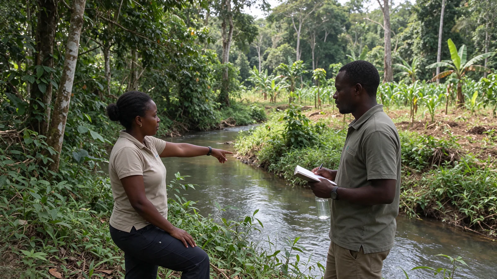
Understanding water flows and protecting sensitive areas before choosing practices or structures. The uses, rights and knowledge of the local communities and Indigenous Peoples concerned guide assessment and monitoring, with attention to downstream effects.
Covered soils, infiltration and erosion prevention.Explore the 5 steps of water–soil management
Assess the watershed and uses
Observe rainfall, slopes, soils, flows, springs and erosion areas. Document water abstraction and use rights with the local communities and Indigenous Peoples concerned, protecting sensitive information and places.
Protect sensitive ecosystems
Preserve wetlands, springs, riparian buffers and protective vegetation according to ecological and regulatory conditions. Maintain ecological connections and legitimate uses; agree on any proposed restrictions with rights holders.
Cover soils and adapt practices to slopes
Study vegetation cover, mulching, reduced compaction, hedgerows and contour-based measures. Choose practices with inhabitants that suit soils, rainfall and available maintenance, rather than applying a uniform recipe.
Determine dimensions through a technical study
Assess hydrology, stability and downstream flows before installing any small structure or managing excess water. An unsuitable measure can worsen gullying and instability, particularly on steep slopes. Exclude any drainage of intact peatland or wetland.
Monitor and maintain together
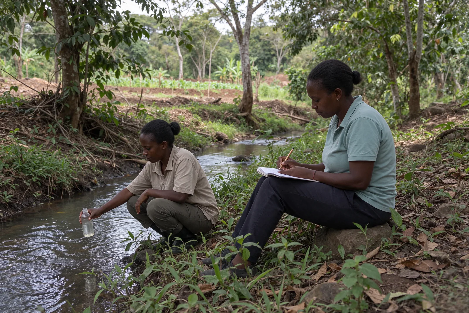
Observe rainfall, infiltration, runoff, turbidity, sediments, gullies and water abstraction. Plan maintenance after heavy rains and community monitoring; discuss downstream effects and adapt measures with those concerned.
Indicators to define together: soil cover, infiltration, runoff and abstraction volumes, turbidity or sediments, soil loss and changes in gullies, with rainfall data and a consistent protocol. No erosion reduction or hydrological improvement is announced before measurement.
Local and Indigenous hydrological knowledge guides observations, without forced disclosure. Rights holders participate in choosing measures, consent, monitoring and benefit-sharing; access to water, remedies and effects on people downstream remain to be examined.
The institutional references cited are technical resources, not partners, endorsements or evidence of Terravalys achievements.
at the centreat the centreat the centre
Communities & Indigenous Peoples
No lasting protection without genuine local decision-making.
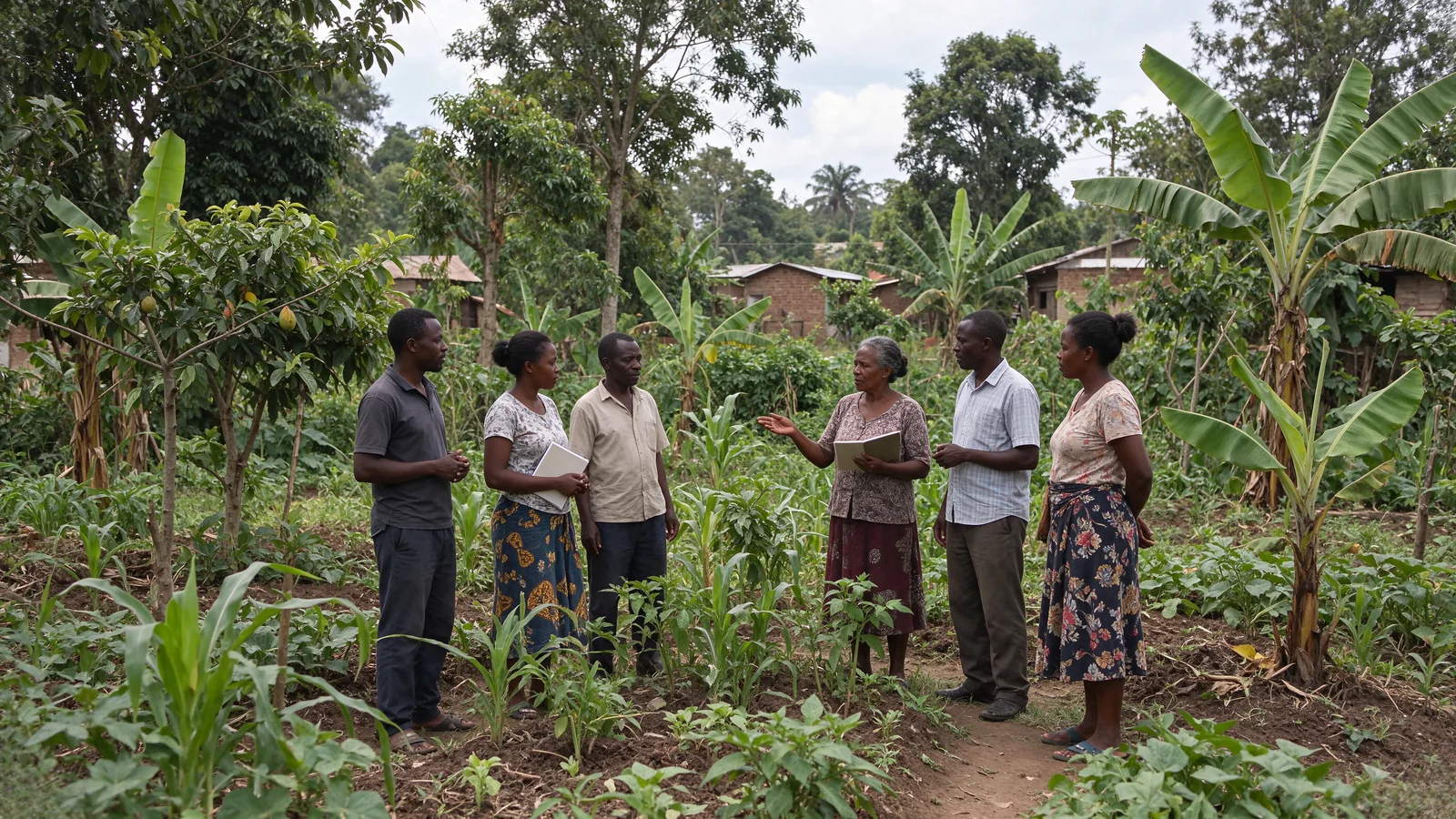
Use and land rights, knowledge, choices, participation and the consent of those concerned are foundations for action. Sensitive information, cultural places and the locations of vulnerable species must be protected.
The Indigenous Peoples concerned decide through their own institutions and processes. Free, prior and informed consent (FPIC) includes the ability to withhold or withdraw consent. Local governance, remedies and benefit-sharing are developed with rights holders; no actual community agreement is presumed.
Listen before actingDocument rightsProvide dialogue & remediesShare fairly
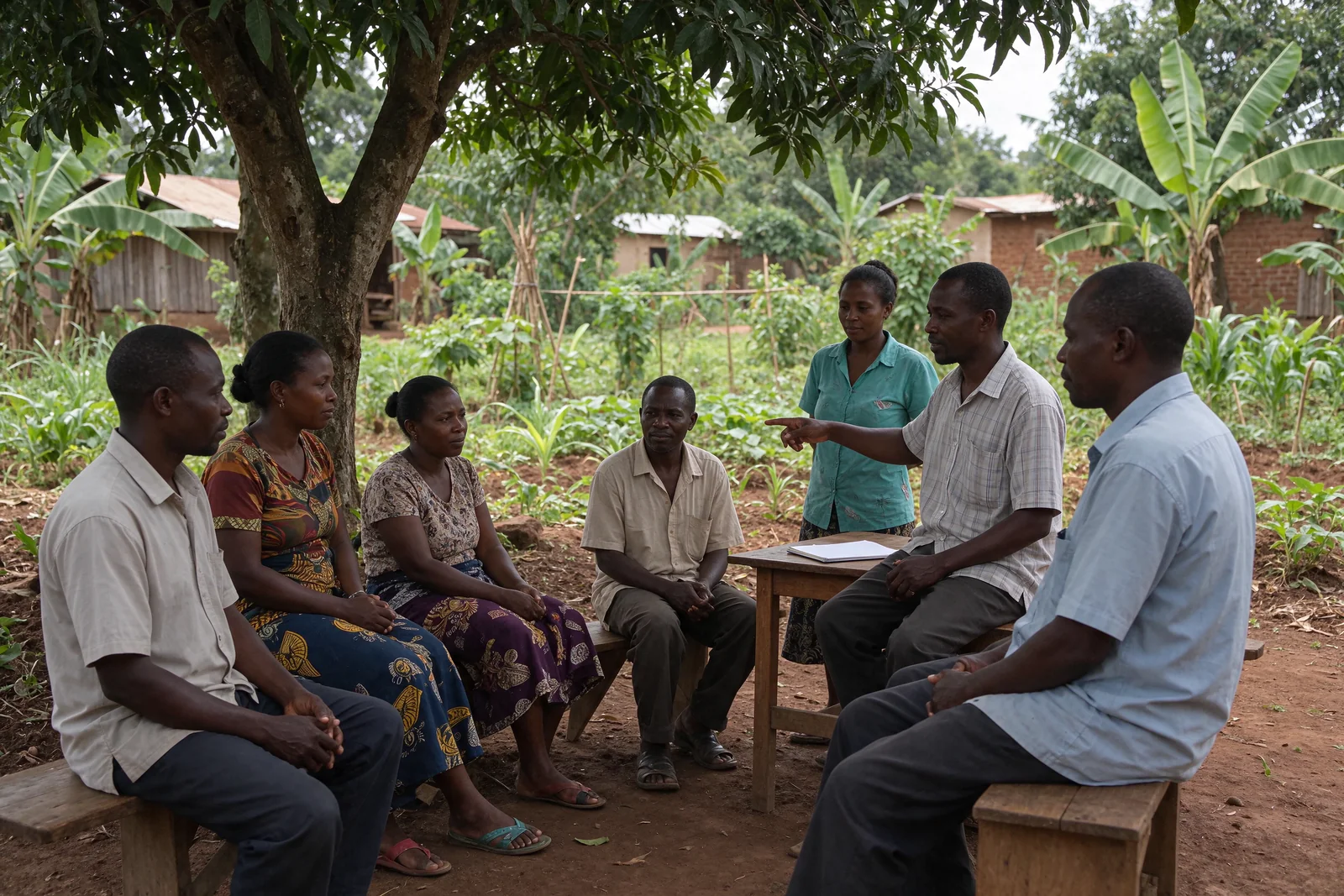
Listening, local decisions and cooperation.
Ecosystem balance
From ridge to reef, ecosystems interact.
Ecosystem health depends on living connections: water, soils, biodiversity, climate and livelihoods cannot be separated.
From mountains to ocean, interconnected ecosystems.
01
Mountains
Water, soils, slopes and headwaters.
→02
Forests
Carbon, biodiversity, regulation and knowledge.
→03
Coasts
Estuaries, lagoons, mangroves and uses.
→04
Ocean
Marine habitats, fisheries and migratory species.
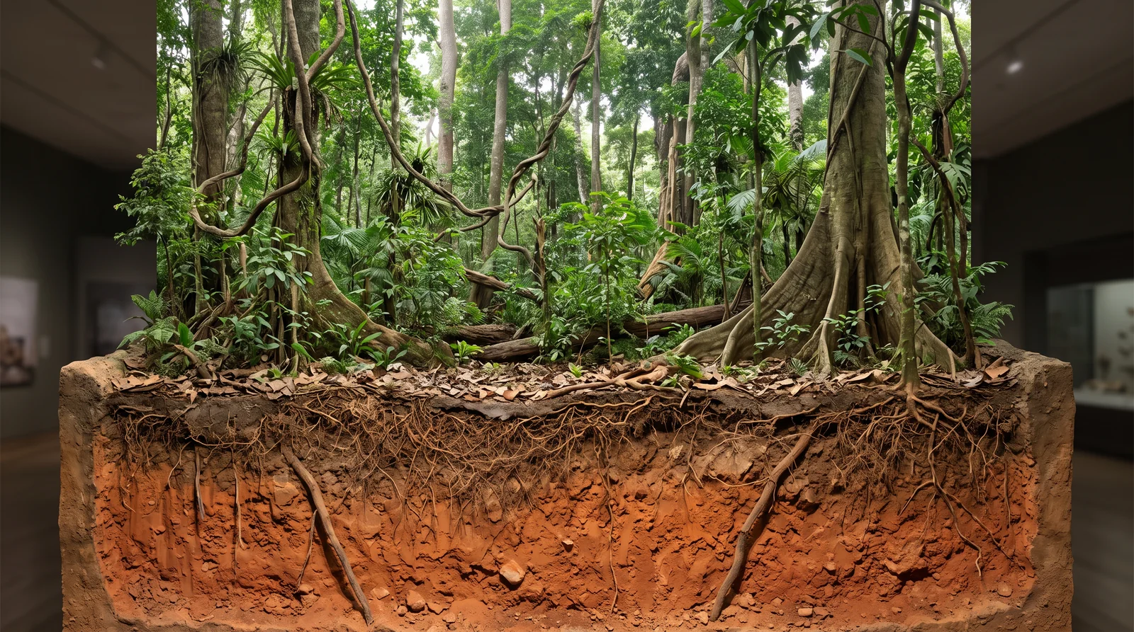
Canopy, understorey, leaf litter and roots. Not to scale.
Understanding the forest above and below ground. Habitats, native species, regeneration, leaf litter and soil functioning are assessed together. A plantation does not automatically recreate this ecosystem; protecting intact forest remains the priority.
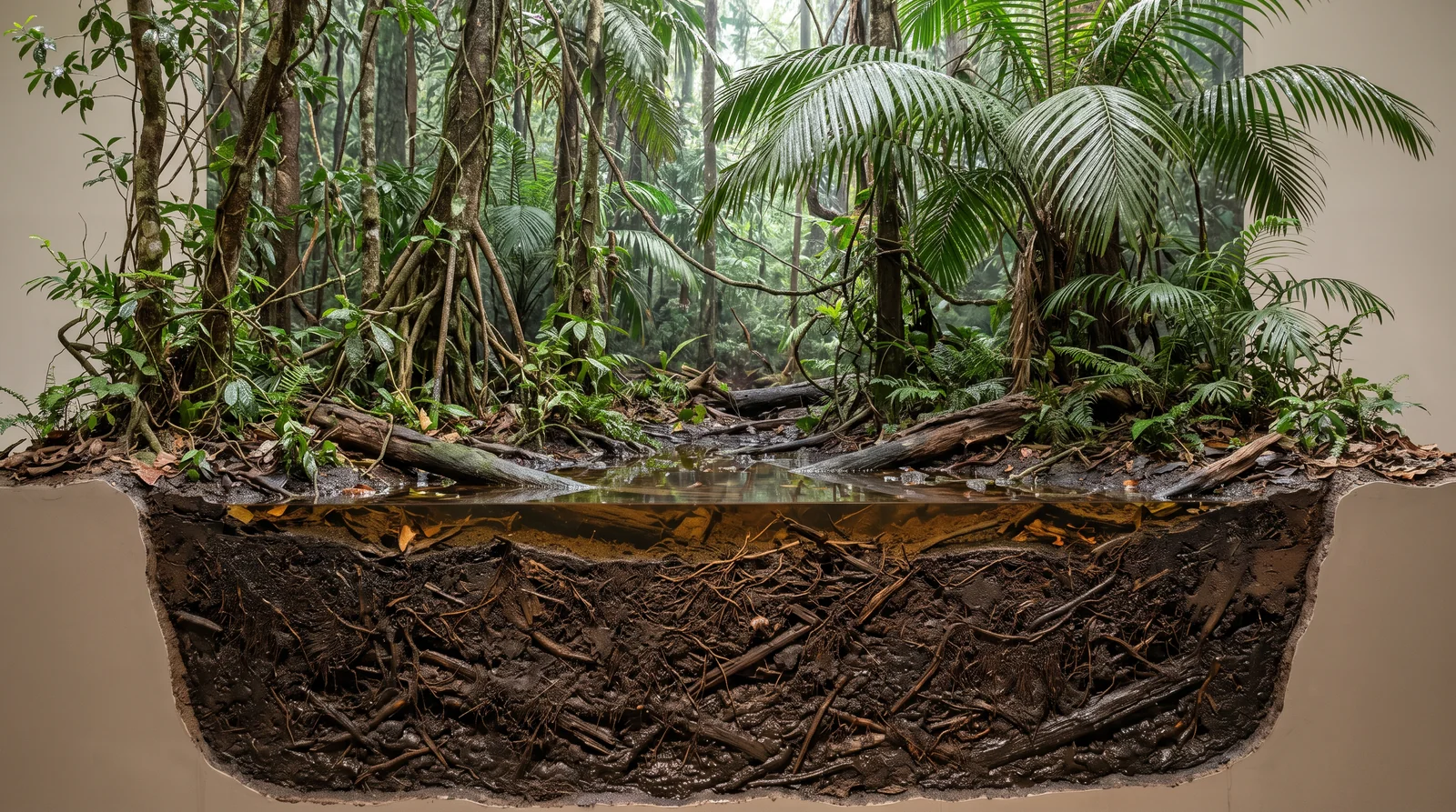
Palms, water and peat in saturated conditions. Not to scale.
Preserving water and peat. Peat is organic matter accumulated under saturated conditions; water levels vary with the environment and season. Intact peatland must be protected, without drainage or conversion to agroforestry. A degraded ecosystem requires a specific hydrological assessment and restoration approach, involving the rights holders concerned.
Ecological value must be protected before it is measured.
Conservation, restoration, rights, authorisations, measurement, monitoring and benefit-sharing come before any consideration of funding, credits or income.
Carbon in terrestrial environments, blue carbon in coastal ecosystems and peatland carbon require distinct boundaries and protocols. Stocks and flows are not interchangeable. Measurement, reporting and verification (MRV), additionality, permanence, leakage and the prevention of double counting must meet the requirements of the selected standard, without automatic certification.
Conservation, restoration and complementary landscapes.
100 000hectares reference framework
80 000 ha Conservation of the ecological corridor
10 000 ha Reforestation
10 000 ha SAFE / SAM
This methodological framework does not establish a landholding, authorisation, certification, carbon credit or secured funding. It must be adapted to a documented territory with the necessary authorisations.
Our method
Understand the terrain. Build with communities. Bring in scientific expertise.
Observing ecosystems, uses and pressures.01
Observe
Identify ecosystems, uses, pressures and what must remain confidential.
Jointly assess rights and uses with the local communities and Indigenous Peoples concerned; share their knowledge only under the protections they define.
Deciding priorities and conditions for action together.02
Decide together
Create the conditions for genuine participation, informed consent and lasting dialogue.
Respect Indigenous Peoples’ own institutions, their FPIC and their ability to withhold or withdraw consent; define channels for dialogue and remedy with communities.
Planting and maintaining species suited to the ecosystem.03
Act with care
Choose proportionate, authorised actions suited to each ecosystem.
Respect local and Indigenous choices, authorisations and rights; agree on responsibilities, maintenance and fair remuneration before starting work.
Monitoring water, vegetation and the effects of actions.04
Monitor and report back
Measure effects, document decisions and share useful lessons.
Develop indicators jointly with the local communities and Indigenous Peoples concerned, ensure their access to results and review fair benefit-sharing rules together.
Contributing to global goals
SDGs as a compass, never a label.
These reference points indicate the dimensions to which initiatives may contribute, depending on context, rights and results actually observed.
2 Zero hunger4 Education5 Equality8 Decent work10 Inequalities13 Climate14 Life below water15 Life on land16 Institutions17 Partnerships
Manifesto
Restore the earth, bring people together, help the living world thrive.
An international purpose begins with local responsibility: understanding local realities, building the necessary partnerships and promising only what can be demonstrated.
Registered office: 5 rue Jules Lefebvre, 75009 Paris, France. The map locates the association’s address, not a territory of intervention.Open in Google Maps / plan directions ↗